Bournemouth is an easy town to live in without a car and a tiresome one to drive in, which leads to the same conclusion from two directions. The geography does the work: the built-up area is long and thin, nearly everything sits within a couple of miles of the seafront, and the buses run east to west along that same line. Stay a week and you will use buses, the promenade and your own legs, roughly in that order. What follows is what works, including what is currently broken.
Buses do most of the work
Morebus runs almost all the local services. Two route numbers are worth memorising. The m1 and m2 both link Poole and Bournemouth along the main road corridor and together give that stretch a bus every few minutes. Eastward, the 1a and 1b run to Christchurch: the 1a via Iford and Barrack Road, the 1b via Southbourne and the coastal edge of town.
Central stops are in flux. Development works began around Gervis Place in May 2026 and buses have moved, so check the operator’s service updates rather than the stop you used last time. Tap a contactless card as you board; single fares in England are capped at three pounds until the end of March 2027.
The promenade, and the cliff above it
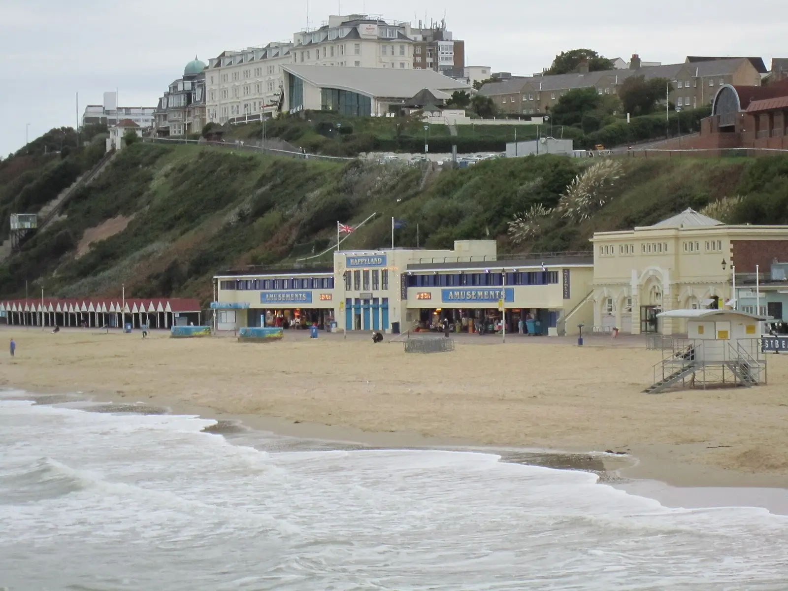
The seafront path is flat, wide, lit and almost continuous, and quicker than it looks. Bournemouth Pier to Boscombe Pier is about a mile and a half: half an hour at an unhurried pace, with no roads to cross. Walking between neighbourhoods along the prom is often the better journey even when the bus would be faster.
Two current caveats. Cliff slips have closed the promenade beneath the East Cliff, and the cordon stays until stabilisation work is done. Expected to start in September 2026 and take around eight months. At West Cliff, an October 2024 landslip destroyed a row of beach huts, and a temporary walkway now takes you round the works. The land train has been running its eastern route towards Boscombe and the Hengistbury Head service, but not the western route to Alum Chine.
Getting up and down is the other thing to plan. The zig-zags are free and steeper than a map suggests. Of the three cliff lifts, only West Cliff and Fisherman’s Walk run, seasonally and on certain days; the East Cliff Lift has been closed since the 2016 landslip.
Cycling, and the hours you cannot
The seafront rules are specific. In July and August, cycling, skating and skateboarding are not permitted on the seafront promenades or paths between 10am and 6pm. The exception is between Bournemouth Pier and Boscombe Pier, open to riders year-round. Outside those two months you can ride all day. Pedestrians have priority, the limit is 10mph, and cycling is banned on the zig-zags and through the chines. BCP Council publishes the full seafront rules.
Beryl runs the hire scheme across Bournemouth, Christchurch and Poole: pedal bikes, e-bikes and e-scooters, unlocked from marked bays through an app. Rental e-scooters follow the same seasonal restriction. Privately owned e-scooters are illegal on the promenade, the paths and public roads.
Three rail stations, not one
Bournemouth station sits inland on the South Western Railway main line, and the useful detail is how close its neighbours are. Pokesdown, which serves Boscombe and the Southbourne side, is about four minutes away. Branksome is about five in the other direction, Poole around ten, Christchurch a few stops east. Between neighbourhoods the train is often quicker and always more predictable, though every station is inland, so budget a walk at each end. London Waterloo is roughly two hours, with direct services through the day.
Beyond the town
The Purbeck Breezer 50 is the one bus route worth taking for its own sake. It runs from Bournemouth through Westbourne and Sandbanks, drives onto the chain ferry across the harbour mouth, then continues through Studland to Swanage. Open-top in season, weather permitting. The ferry crosses every twenty minutes.
The airport
Bournemouth Airport is at Hurn, north-east of town and nearer Christchurch than the seafront. The 737 bus links it to the town centre via Winton, but it does not run every day of the week and thins at the edges. Check it against your flight before assuming a bus exists; otherwise it is a taxi.
Where a car genuinely helps
Inland Dorset is the honest gap. The Purbeck hills, the New Forest and the villages north of town are reachable by bus, slowly, with an early last service back. A big supermarket shop is easier with a boot, and heavy luggage argues for a taxi from the station. In winter the seasonal layer disappears, land train, cliff lifts, open-top routes all stop, which leaves buses, trains and walking, and is still enough.
Which neighbourhoods actually work car-free
Central Bournemouth and the East Cliff are the strongest: rail station, bus hub, beach and town within walking distance of each other. Boscombe, Westbourne and Southbourne each have a real high street, so daily needs are met on foot, with frequent buses into town for everything else. Further out the calculation changes quickly. The neighbourhood guide covers where each one leaves you, and a full week is mapped in a week in Bournemouth without a car.